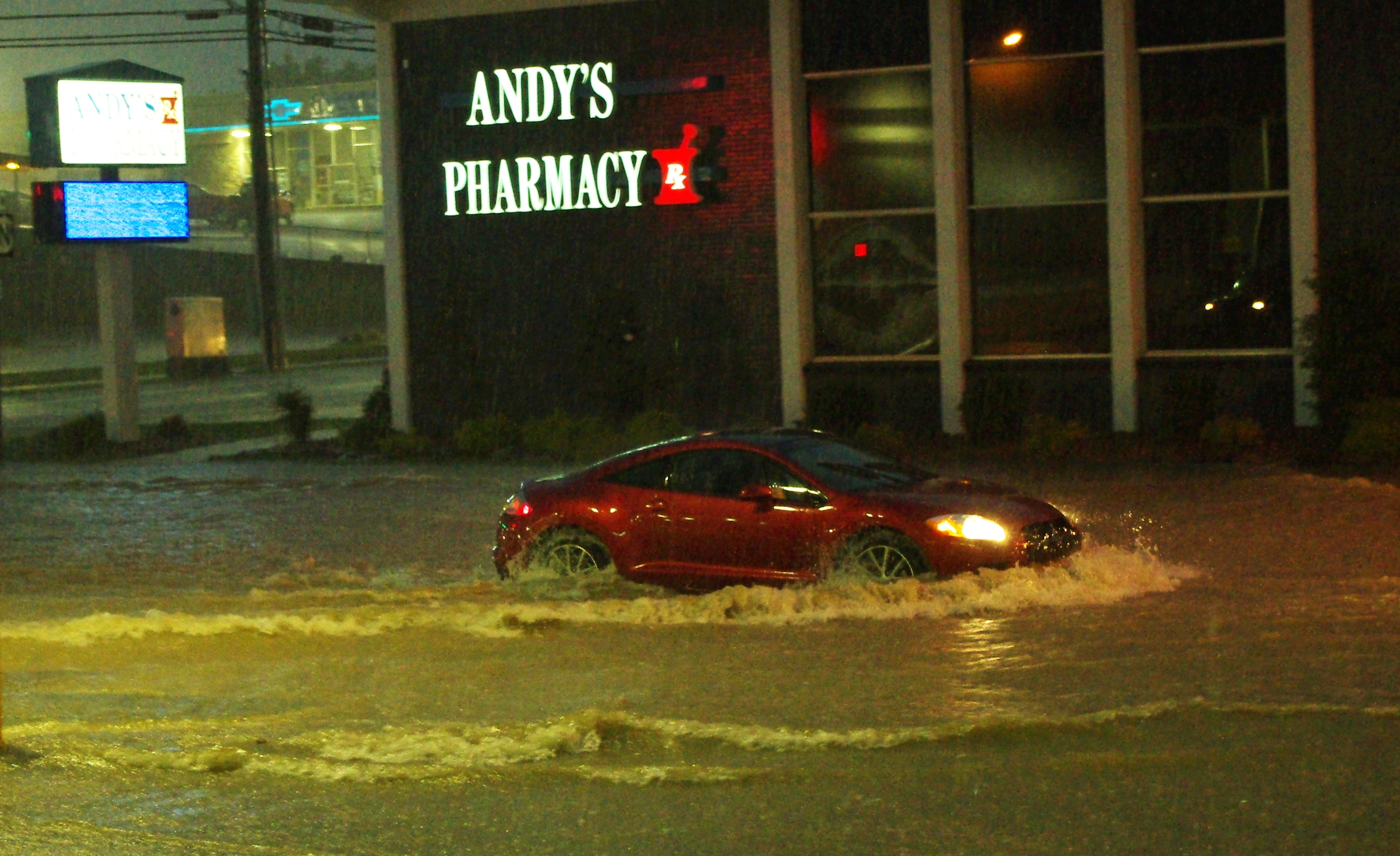
The Oklahoma City metro faces a moderate flash-flood risk and a very low tornado threat as a storm system fueled by moisture from Hurricane Polo pushes into central Oklahoma starting Wednesday, Sept. 30.
The National Weather Service's Norman office expects thunderstorms to develop Wednesday afternoon and persist through much of the night. Damaging winds, hail and heavy rainfall are the most likely hazards, though a very low tornado risk also exists.
Rain totals could reach 2 to 3 inches across the metro area, KOCO 5 reported. Areas south and east of the city, including Pauls Valley, Seminole and Holdenville, could see 3 to 6 inches.
KOCO 5 Chief Meteorologist Damon Lane said a "tremendous amount" of rain is expected in central and eastern Oklahoma. Humidity levels ahead of the storm are climbing to near-record levels, which could cause rainfall totals to spike quickly.
The tornado index sits at 2 on a 1-to-10 scale for parts of central, western and southern Oklahoma, including the metro. That risk could persist into the overnight hours.
KOCO 5 Field Meteorologist Michael Armstrong warned that the tornado threat is especially dangerous because it could arrive while people are asleep. Armstrong referenced a record-breaking November of tornadoes in 2024 as a reminder that twisters do not require summer heat. He advised residents to clean out storm shelters and make sure weather alerts are activated on their phones.
The storm is part of a larger system that caused dangerous flooding in New Mexico earlier this week. USA TODAY reported that tropical moisture from Hurricane Polo's remnants is merging with an upper-level low to funnel rainfall across the central United States.
Oklahoma Gov. Kevin Stitt deployed two swift water rescue teams to New Mexico on Sunday. They arrived on Monday to help with flood response there. The two teams totaling 12 members from the Oklahoma City and Tulsa areas were staged in Santa Fe and expected to remain for up to six days.
The NWS expects multiple rounds of heavy rainfall from Sept. 30 into Friday, Oct. 2, with rain beginning as early as Tuesday, Sept. 29. A cold front behind the system is forecast to push high temperatures below 80 degrees by Oct. 2, with highs in the low to mid-70s by Saturday, Oct. 3.
The National Weather Service urged drivers to avoid flooded roadways, especially at night. Residents can monitor the latest watches and warnings at the NWS Norman website.