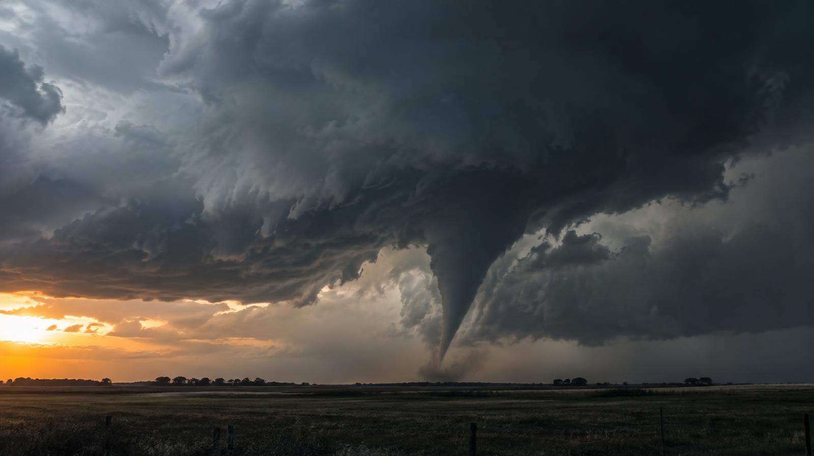
Severe storms with tornado potential are expected to hit the Oklahoma City metro Monday evening, Nov. 2, with supercells forecast to develop in central Oklahoma around 6:30 p.m.
The storms could produce tornadoes, quarter-sized hail and damaging 70 mph wind gusts, according to KOCO 5 meteorologist Mikayla Smith. The OKC metro falls within a Level 2 slight risk zone that covers most of the state.
The tornado index for the metro sits at 4 out of 10. Areas near Lawton, Seminole, Enid, Stillwater, Tulsa, Ponca City and Bartlesville share that same rating, Smith reported. The tornado risk is highest in southwestern, central and northern Oklahoma.
Atmospheric shear and spin are expected to fuel the tornado threat.
Storm timeline
The statewide severe weather window runs from 4 p.m. to early Tuesday. Storms are expected to develop first in western Oklahoma between 4 and 6 p.m., then move into central Oklahoma between 6 and 9 p.m. Eastern Oklahoma faces the threat from about 8 p.m. to midnight.
For the OKC metro, the storms will be a nighttime event. Sunset on Monday falls around 5:30 p.m., Smith reported.
Isolated storms should develop into supercells around 6:30 p.m. in central Oklahoma, including the metro. As the evening progresses, those storms are expected to form more of a line as they push into eastern Oklahoma.
Some early storms Monday could produce quarter-sized hail in western, central and northern Oklahoma.
Two rounds expected
Showers and storms are also possible overnight Sunday into Monday morning and early Monday afternoon, according to Smith's forecast. The second, more dangerous round develops Monday afternoon along the dryline.
The Storm Prediction Center's Day 2 outlook, issued Sunday morning from Norman, calls for scattered severe storms across the central and southern Plains late Monday afternoon into the evening. Damaging wind gusts and a few tornadoes are listed as the main threats.
The National Weather Service office in Norman said it is closely monitoring the potential for severe weather Monday, especially during the afternoon into nighttime hours. The NWS identified damaging winds as the primary threat but said large hail and a tornado or two are "certainly possible."
What to do before Monday evening
Charge phones and weather radios before the storms arrive. Identify the safest interior room on the lowest floor of your home. Bring loose outdoor items inside. Keep shoes and a flashlight near your bed in case storms hit overnight.
A cooler and drier Tuesday is expected following the storms, bringing fall-like weather for the first full week of November.